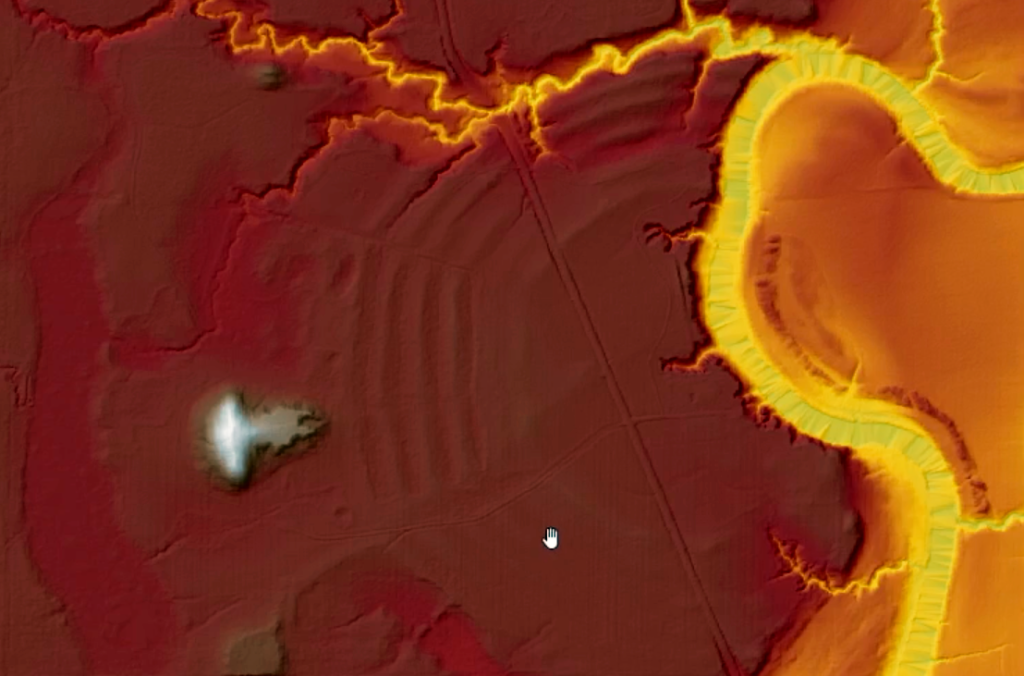
You’ve probably seen those cool interactive 3D models of landscapes around the web. Lots of folks are using them to illustrate various places. Perhaps you’ve even wondered, “how can I do this? It would be a great way to display my favorite site!” You know, something like the following 3D terrain of the Pinson Mounds site I use to teach Southeastern Archaeology (which uses LiDAR data for both 3D heights and visualization).
Well, you’re in luck because I’ve created a tutorial on using various height data to create a fully textured 3D terrain model using open source software! Watch the tutorial for more info. Read on to get a brief overview of how the process works. As always, you can access the video on YouTube to get links to software, data, and other helpful things.
There are four basic steps to creating a textured 3D terrain. Of course, by textured, we mean a 3D model that has an image assigned to it. The first step centers on collecting and organizing your data. We need two types of data, something representing height values, typically in the form of a digital elevation model (DEM), and another to texture the 3D model/terrain. For the DEM, I have several tutorials in my YouTube QGIS 4 Arch playlist that explore creating DEMs from LiDAR or SRTM data. Other videos discuss georeferencing historic aerial photographs and maps, which make great textures as well. My tutorial reviews some of this by creating a DEM of Poverty Point from free LiDAR data.
Next, we use QGIS to create a shapefile to clip both the DEM and texture image (in this case, a visualization of the LiDAR data itself like that shown above). This is followed by clipping and exporting the data. The data is then imported into Blender where we use it to create a 3D surface representing the heights of the DEM and assign the image as its texture. Finally, we export the Blender 3D objects so they can be used in Sketchfab, the most popular online website for sharing 3D data. Have a look at the tutorial’s finished product.
That’s it! After watching the tutorial, you’ll be able to create similar visualizations for any spot of the planet where you can get height data and imagery to represent the area’s surface. Enjoy!